
Computer vision
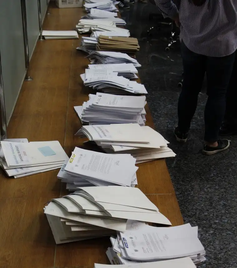
Financial process automation with computer vision
Automating steps in financial processes using computer vision, raising the efficiency of the process end to end.
Read caseCase / Agritech
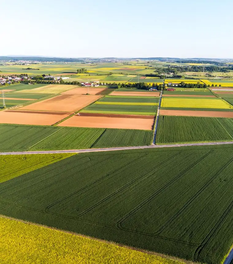
Remote sensing and AI used to analyze and predict crop productivity against climate, soil and cultivation practice, improving resource management and yields.
Map and forecast crops across changing climate, soil and cultivation conditions so agricultural resources can be managed more effectively.
Analyze data from multiple farming regions, including soil conditions, weather patterns, crop types and cultivation methods.
Remote sensing, AI and predictive models were used to map cultivated areas and estimate future harvests.
The published case describes better resource planning, yield optimization and more proactive responses to market changes; it does not provide a quantified lift.
Computer vision
Automating steps in financial processes using computer vision, raising the efficiency of the process end to end.
Read caseNLP
An automatic document-processing pipeline combining intelligent document processing with supervised entity extraction from natural-language text.
Read casesegMENTOR
Push targeting driven by shopper behavior inside shopping centers, weighing external and behavioral factors. The result was more effective communication and increased sales.
Read caseStart a conversation
Tell us what you need to improve. We will work out whether data or AI is the right approach.